
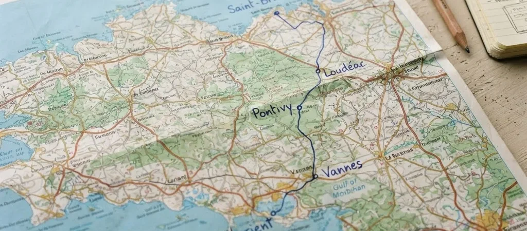
A map can make the stretch from Saint-Brieuc to Lorient look like one continuous trip. On the ground, the appeal is in the changes along the way: coastal outlooks, inland towns, waterways, and the different rhythms of each place. Give the journey a point of view before you choose how to travel it.
Choose an anchor for the day
Start with the place you most want time for. It might be Saint-Brieuc and its bay, Pontivy and its waterways, or Vannes as a base for exploring the Gulf of Morbihan. Treat the other stops as possibilities rather than promises; a satisfying day does not need to collect every town on the corridor.
Loudéac can make sense as a deliberate inland pause, while Lorient offers a different coastal frame for the end of a trip. Write down what you want from the stop—an unhurried walk, a meal, a museum visit, or simply time to look around. That small decision helps keep the itinerary realistic.
Let the map set the pace
A straight line between towns does not tell you which connections are available or how long a journey will take. Compare the route you want with current operator information, then leave room for the distance between a station, stop, and the place you actually want to visit. Check official sources for timetables, fares, and changes before setting out.
Leave space for discovery
A useful itinerary has one firm anchor and a little breathing room around it. Keep a nearby alternative in mind in case the weather or your transport plan changes, and verify any opening details directly before you go. LA BRETAGNE EN MOUVEMENT is an independent editorial guide: we share ideas for the journey and point you to operators for information that can change.